


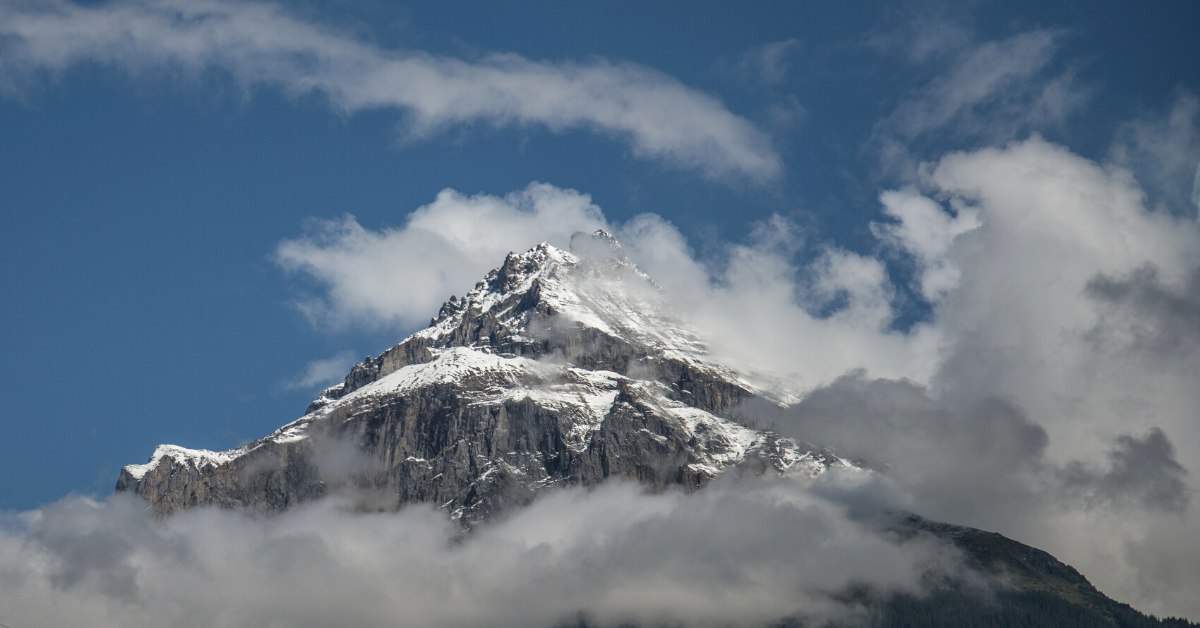
The height of Mount Everest has actually been in dispute for quite some time. China had measured it to be about 8,844m, whereas Nepal claimed that it was 8,848m. The 8,848m height was determined back in 1954 by a Survey of India. China calculated its height in 2005. Their height was lower because they measured up until the rock stopped and did not include any snow or ice above that point. Nepal, finally, put a rest to the dispute by completing their own survey. That survey officially determined that The height of Mount Everest is 8,848.86m. Nearly a metre taller than previously thought.
There was reason to suspect the previous measurements might be out of date.

In 2015, an earthquake shook the region . After, researchers suspected that the quake might have shifted the tectonic plates under the mountain. If this were the case, the height of the mountain might have changed. Nepal decided to conduct a new survey. China also completed their own survey. It was decided that the official height would be an average between the two values. This would allow everyone to finally agree and resolve any disputes.
The mountain is a source of pride for the Nepalese people.

Tshering Pande Bhote, a climber, told CNN :
“Our mountains are known as young mountains internationally and it is a matter of pride to hear that the height has increased.”
This was also the first time that Nepal measured the mountain. Their scientific achievement and tenacity, in such a trying environment, is another source of pride.
RELATED STORIES


It was not easy to measure the mountain.

Khimlal Gautam, who led the survey, lost his toe to frostbite. Climbing Mount Everest is a tremendous accomplishment by itself. Dealing with the challenges of the climb while conducting scientific research is on another level! The team was chosen carefully. Gautam told the Agence France-Press:
“Climbing Everest alone is a challenging task, but we also had to measure it.”
Measuring a mountain is complicated.

The bottom starts at sea level, so the sea that you choose to start at affects the measurements. Nepal started at the Bay of Bengal, which is close to the Nepal side of Mount Everest. China uses the Yellow Sea as their sea level. This would have caused a slightly different measurement, which is why the two values were averaged.
China and Nepal announced the new height together.

The collaboration was to demonstrate the partnership between the two countries. Finally, their feud about the size of Mount Everest has been put to bed. And Nepal has proudly played an important role in redefining that height.
h/t: BBC

